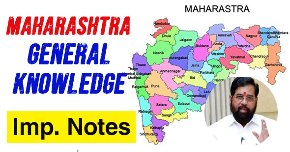
Maharashtra is richly endowed with various minerals of industrial importance like Manganese, Coal, Iron Ore, Limestone, Copper, Bauxite, Silica Sand and Common Salt. Cotton Textile Industry is the largest and oldest industry in the state.
Maharashtra: At a Glance
| Date of Formation | 1st May, 1960 |
| Capital | Mumbai and Nagpur (Winter capital) |
| Total Geographical Area | 3,07,713 sq. km. (118,809 sq. mile) |
| Boundaries | 1. Gujarat, 2. Madhya Pradesh, 3. Chhattisgarh, 4. Telangana, 5. Karnataka, 6. Goa, 7. Dadra & Nagar Haweli |
| Sea | Arabian Sea |
| High Court | Bombay High Court (Benches at Aurangabad, Nagpur and Panaji) |
| Main Language | Marathi |
| State Animal | Giant Squirrel |
| State Bird | Green Imperial Pheasant |
| State Tree | Mango (Mangifera Indica) |
| State Flower | Jarul |
| First Governor | Shri Sri Prakash |
| First Chief Minister | Yeshwantrao Chavan |
| Longitude | 72° 36' E to 80° 54' E |
| Latitude | 15° 35' N to 22° 02' N |
| Legislative Bodies | Bicameral Assembly (i.e.; Legislative Assembly and Legislative Council) |
| Assembly Seats | 289 (including 1 nomination) |
| Legislative Council Seats | 78 |
| Lok Sabha Seats | 48 |
| Rajya Sabha Seats | 19 |
| Forest and Tree Cover | 61,583 sq. km (20% of the total State's Area) |
| District with Maximum Forest Cover | Gadchiroli |
| District with Minimum Forest Cover | Mumbai City |
| District with Maximum Area | Ahmednagar |
| District with Minimum Area | Mumbai City |
| Divisions | 6 |
| Districts | 36 |
| Tehsils (2015-16) | 355 |
| Inhabited Villages | 40,959 |
| Un-Inhabited Villages | 2,706 |
| Towns (Including Census Towns) | 534 |
| Zilla Parishads | 34 |
| Gram Panchayats | 27,875 |
| Panchayat Samitis | 351 |
| Municipal Councils | 241 |
| Municipal Corporations | 27 |
| Nagar Panchayat | 128 |
| Cantonment Boards | 7 |
| Total Population (2011 Census): | 11,23,74,333 |
| Male Population | 5,82,43,056 |
| Female Population | 5,41,31,277 |
| % of Urban Population | 45.2% |
| Decadal Growth | 15.99% |
| Population Density | 365 |
| Sex Ratio | 929 |
| Literacy Rate | 82.3% |
| Male Literacy Rate | 88.4% |
| Female Literacy Rate | 75.9% |
| Percentage of SC Population | 11.8% (2011) |
| Percentage of ST Population | 9.4% (2011) |
| National Parks | 6 |
| Wildlife Sanctuaries |
48 |
| Important Rivers | Godavari, Krishna, Tapti |
| Folk Dances | Lavni, Tamasha, Koli |
| Fairs & Festivals | Gudhi Padava, Ganesh Chaturthi, Kumbh Mela, Changdeo Fair, Snake Festival |
| Important Tribes | Bhil, Gond, Koli Mahadev, Varli, Kokna and Thakur |
| Important National Highways | NH-3, NH-4, NH-6, NH-7, NH-17, NH-222 |
| Main Political Parties | Nationalist Congress Party (NCP), Indian National Congress, Shiv Sena, BJP, CPI-M, Maharashtra Nav Nirman Sena, Peasant and Workers Party of India etc. |
| Major Religions | Hinduism, Islam, Parsi, Chris- tianity, Jainism |
| Main Towns | Mumbai, Pune, Nagpur, Nashik, Nanded, Nandubar, Akola, Aurangabad, Bid, Gondia, Jalgaon, Jaina, Kolhapur, Kudal, Parba- hani, Solapur, Satara, Sangli, Wardha |
| Zero Mile Stone | The Geographical Centre of India is located in Nagpur. |


0 Comments